
Aughnacloy topographic map
Interactive map
Click on the map to display elevation.
About this map
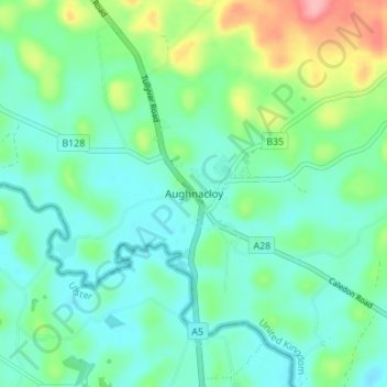
Name: Aughnacloy topographic map, elevation, terrain.
Location: Aughnacloy, County Tyrone, Northern Ireland, United Kingdom (54.39479 -6.99629 54.43479 -6.95629)
Average elevation: 67 m
Minimum elevation: 38 m
Maximum elevation: 152 m