
Hankate topographic map
Interactive map
Click on the map to display elevation.
About this map
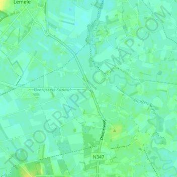
Name: Hankate topographic map, elevation, terrain.
Location: Hankate, Hellendoorn, Overijssel, Nederland, 7447, Nederland (52.41391 6.41845 52.45391 6.45845)
Average elevation: 8 m
Minimum elevation: 3 m
Maximum elevation: 18 m