
Mottis topographic map
Interactive map
Click on the map to display elevation.
About this map
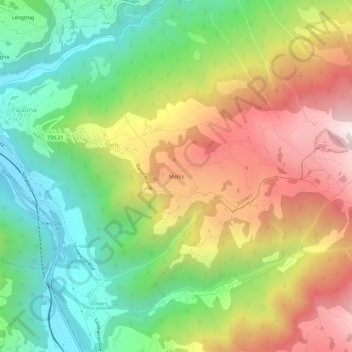
Name: Mottis topographic map, elevation, terrain.
Location: Mottis, Schiers, Prättigau/Davos, Grisons, 7223, Switzerland (46.94207 9.70589 46.98207 9.74589)
Average elevation: 1,164 m
Minimum elevation: 658 m
Maximum elevation: 1,821 m