
Rodríguez topographic map
Interactive map
Click on the map to display elevation.
About this map
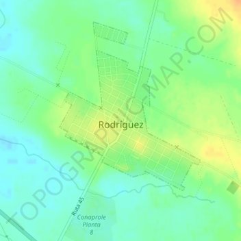
Name: Rodríguez topographic map, elevation, terrain.
Location: Rodríguez, San José, 80001, Uruguay (-34.38817 -56.54740 -34.37244 -56.52829)
Average elevation: 41 m
Minimum elevation: 28 m
Maximum elevation: 60 m