
Gatewood topographic map
Interactive map
Click on the map to display elevation.
About this map
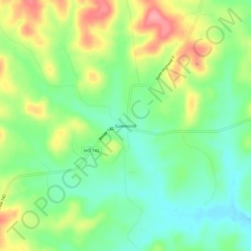
Name: Gatewood topographic map, elevation, terrain.
Location: Gatewood, Ripley County, Missouri, United States of America (36.55700 -91.10985 36.59700 -91.06985)
Average elevation: 187 m
Minimum elevation: 146 m
Maximum elevation: 250 m