
Mankhal topographic map
Interactive map
Click on the map to display elevation.
About this map
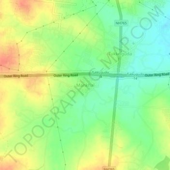
Name: Mankhal topographic map, elevation, terrain.
Average elevation: 594 m
Minimum elevation: 571 m
Maximum elevation: 618 m
Other topographic maps
Click on a map to view its topography, its elevation and its terrain.
Tukkuguda
India > Telangana > Maheswaram mandal
Tukkuguda, Maheswaram mandal, Rangareddy, Telangana, India
Average elevation: 589 m