
Balkhab topographic map
Interactive map
Click on the map to display elevation.
About this map
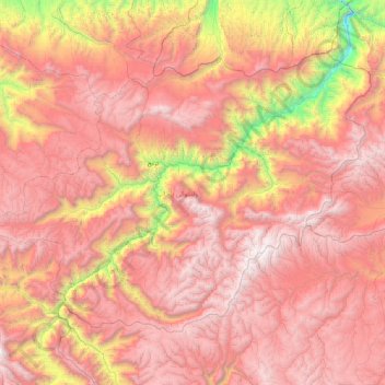
Name: Balkhab topographic map, elevation, terrain.
Location: Balkhab, Sar-e Pol Province, Afghanistan (35.16891 66.10509 35.71776 67.03321)
Average elevation: 2,909 m
Minimum elevation: 985 m
Maximum elevation: 4,222 m
Other topographic maps
Click on a map to view its topography, its elevation and its terrain.
Sar-e Pol
Afghanistan > Sar-e Pol Province
Sar-e Pol, Sar-e Pol Province, Afghanistan
Average elevation: 959 m
Sar-e Pol
Afghanistan > Sar-e Pol Province > Sar-e Pol > Sar-e Pol
Sar-e Pol, Sar-e Pol Province, Afghanistan
Average elevation: 787 m