
Kvitsøy topographic map
Interactive map
Click on the map to display elevation.
About this map
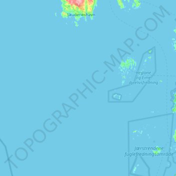
Name: Kvitsøy topographic map, elevation, terrain.
Location: Kvitsøy, Rogaland, 4180, Norway (58.91933 4.95912 59.12828 5.54541)
Average elevation: 1 m
Minimum elevation: 0 m
Maximum elevation: 92 m
Other topographic maps
Click on a map to view its topography, its elevation and its terrain.
Vassfjellet
Vassfjellet, Sandbakk, Sandnes, Rogaland, 4309, Norway
Average elevation: 124 m
Store Stokkavatn
Store Stokkavatn, Eiganes og Våland, Stavanger, Rogaland, Norway
Average elevation: 21 m