
Lugela topographic map
Interactive map
Click on the map to display elevation.
About this map
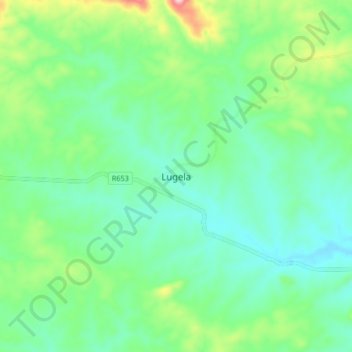
Name: Lugela topographic map, elevation, terrain.
Location: Lugela, Zambézia, Mozambique (-16.46583 36.71221 -16.38583 36.79221)
Average elevation: 296 m
Minimum elevation: 230 m
Maximum elevation: 481 m