
Touriñán topographic map
Interactive map
Click on the map to display elevation.
About this map
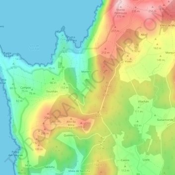
Name: Touriñán topographic map, elevation, terrain.
Location: Touriñán, Fisterra, A Coruña, Galicia, 15125, Spain (43.01932 -9.27951 43.05932 -9.23951)
Average elevation: 103 m
Minimum elevation: 0 m
Maximum elevation: 266 m