
Finger topographic map
Interactive map
Click on the map to display elevation.
About this map
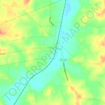
Name: Finger topographic map, elevation, terrain.
Location: Finger, McNairy County, Tennessee, 38334, United States (35.34721 -88.64069 35.36603 -88.59474)
Average elevation: 143 m
Minimum elevation: 120 m
Maximum elevation: 171 m