
Inner and Middle Temples topographic map
Interactive map
Click on the map to display elevation.
About this map
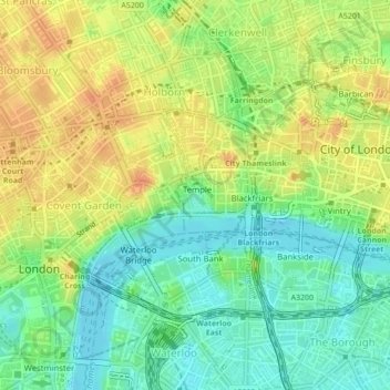
Name: Inner and Middle Temples topographic map, elevation, terrain.
Average elevation: 21 m
Minimum elevation: 2 m
Maximum elevation: 41 m
Other topographic maps
Click on a map to view its topography, its elevation and its terrain.
Lime Street
United Kingdom > England > City of London
Lime Street, City of London, Greater London, England, United Kingdom
Average elevation: 19 m