
South City II topographic map
Interactive map
Click on the map to display elevation.
About this map
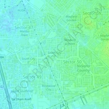
Name: South City II topographic map, elevation, terrain.
Location: South City II, Sector 50, Gurugram, Gurgaon, Haryana, India (28.41376 77.05218 28.42312 77.06047)
Average elevation: 230 m
Minimum elevation: 226 m
Maximum elevation: 235 m
Other topographic maps
Click on a map to view its topography, its elevation and its terrain.