
Farmington topographic map
Interactive map
Click on the map to display elevation.
About this map
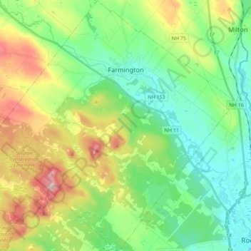
Name: Farmington topographic map, elevation, terrain.
Average elevation: 167 m
Minimum elevation: 57 m
Maximum elevation: 404 m
Other topographic maps
Click on a map to view its topography, its elevation and its terrain.
Center Strafford
United States > New Hampshire > Strafford County > Strafford
Average elevation: 148 m