
Rochester topographic map
Interactive map
Click on the map to display elevation.
About this map
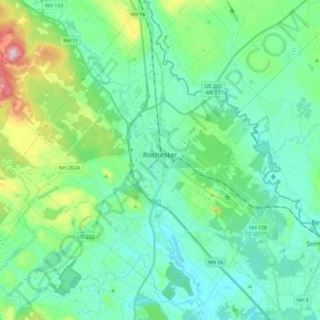
Name: Rochester topographic map, elevation, terrain.
Location: Rochester, Strafford County, New Hampshire, United States (43.22578 -71.07088 43.37922 -70.89613)
Average elevation: 90 m
Minimum elevation: 32 m
Maximum elevation: 304 m