
McPherson County topographic map
Interactive map
Click on the map to display elevation.
About this map
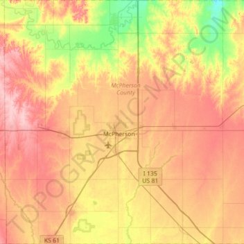
Name: McPherson County topographic map, elevation, terrain.
Location: McPherson County, Kansas, United States of America (38.17372 -97.92625 38.61022 -97.37132)
Average elevation: 455 m
Minimum elevation: 390 m
Maximum elevation: 518 m
Other topographic maps
Click on a map to view its topography, its elevation and its terrain.