
Hatfield topographic map
Interactive map
Click on the map to display elevation.
About this map
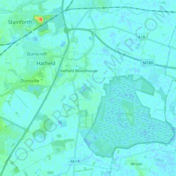
Name: Hatfield topographic map, elevation, terrain.
Location: Hatfield, Doncaster, South Yorkshire, England, United Kingdom (53.51968 -1.04507 53.60347 -0.89099)
Average elevation: 4 m
Minimum elevation: -2 m
Maximum elevation: 43 m
England trails, hiking, mountain biking, running and outdoor activities
Other topographic maps
Click on a map to view its topography, its elevation and its terrain.