
Ballyjamesduff topographic map
Interactive map
Click on the map to display elevation.
About this map
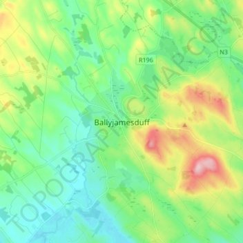
Name: Ballyjamesduff topographic map, elevation, terrain.
Location: Ballyjamesduff, County Cavan, Ireland (53.82391 -7.24616 53.90391 -7.16616)
Average elevation: 119 m
Minimum elevation: 65 m
Maximum elevation: 247 m