
Kamwangi topographic map
Interactive map
Click on the map to display elevation.
About this map
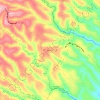
Name: Kamwangi topographic map, elevation, terrain.
Location: Kamwangi, Kiambu County, Central Kenya, Kenya (-0.97858 36.88025 -0.93858 36.92025)
Average elevation: 1,746 m
Minimum elevation: 1,646 m
Maximum elevation: 1,828 m