
Gunung Padang Megalithic Site topographic map
Interactive map
Click on the map to display elevation.
About this map
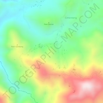
Name: Gunung Padang Megalithic Site topographic map, elevation, terrain.
Average elevation: 922 m
Minimum elevation: 730 m
Maximum elevation: 1,190 m