
Engineer topographic map
Interactive map
Click on the map to display elevation.
About this map
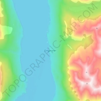
Name: Engineer topographic map, elevation, terrain.
Location: Engineer, Stikine Region, British Columbia, Canada (59.46001 -134.28650 59.54001 -134.20650)
Average elevation: 1,026 m
Minimum elevation: 652 m
Maximum elevation: 2,025 m