Geolocate

Gol topographic map

Interactive map

Click on the map to display elevation.

About this map

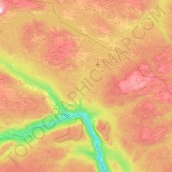
Name: Gol topographic map, elevation, terrain.

Location: Gol, Buskerud, 3550, Norway (60.63121 8.71858 60.87171 9.33211)

Average elevation: 839 m

Minimum elevation: 160 m

Maximum elevation: 1,585 m

Other topographic maps

Click on a map to view its topography, its elevation and its terrain.

Svelvik

Norway > Buskerud

Average elevation: 138 m

Hemsedal

Norway > Buskerud

Average elevation: 827 m

Eggedal

Norway > Buskerud

Average elevation: 482 m

Skrim

Norway > Buskerud

Average elevation: 621 m

Granåsen

Norway > Buskerud

Average elevation: 609 m

Norefjell

Norway > Buskerud

Average elevation: 758 m

Vikersund

Norway > Buskerud

Average elevation: 217 m

Hesteberget

Norway > Buskerud

Average elevation: 1,345 m

Uvdal alpinsenter

Norway > Buskerud

Average elevation: 893 m

Hønefoss

Norway > Buskerud

Average elevation: 132 m