
Bamford Edge topographic map
Interactive map
Click on the map to display elevation.
About this map
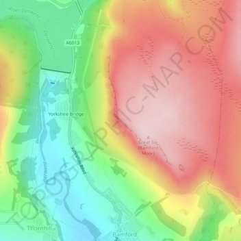
Name: Bamford Edge topographic map, elevation, terrain.
Average elevation: 287 m
Minimum elevation: 146 m
Maximum elevation: 423 m
England trails, hiking, mountain biking, running and outdoor activities
Other topographic maps
Click on a map to view its topography, its elevation and its terrain.
Barber Booth
United Kingdom > England > High Peak > Upper Booth > Barber Booth
Average elevation: 378 m