
Rossville topographic map
Interactive map
Click on the map to display elevation.
About this map
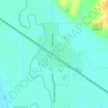
Name: Rossville topographic map, elevation, terrain.
Location: Rossville, Shawnee County, Kansas, United States (39.12872 -95.95867 39.14424 -95.94250)
Average elevation: 285 m
Minimum elevation: 278 m
Maximum elevation: 310 m