
Clifton topographic map
Interactive map
Click on the map to display elevation.
About this map
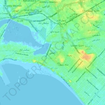
Name: Clifton topographic map, elevation, terrain.
Location: Clifton, Sindh, 75600, Pakistan (24.77906 66.98624 24.85906 67.06624)
Average elevation: 7 m
Minimum elevation: -6 m
Maximum elevation: 29 m