
Peacock Acres topographic map
Interactive map
Click on the map to display elevation.
About this map
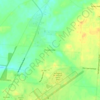
Name: Peacock Acres topographic map, elevation, terrain.
Location: Peacock Acres, Clark County, Ohio, United States of America (39.83950 -83.86021 39.87950 -83.82021)
Average elevation: 313 m
Minimum elevation: 298 m
Maximum elevation: 326 m