
Cynthiana topographic map
Interactive map
Click on the map to display elevation.
About this map
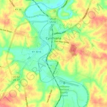
Name: Cynthiana topographic map, elevation, terrain.
Location: Cynthiana, Harrison County, Kentucky, 41031, United States (38.35505 -84.33961 38.40905 -84.26639)
Average elevation: 238 m
Minimum elevation: 209 m
Maximum elevation: 270 m
Other topographic maps
Click on a map to view its topography, its elevation and its terrain.