
RW 04, DESA WANGUNSARI topographic map
Interactive map
Click on the map to display elevation.
About this map
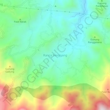
Name: RW 04, DESA WANGUNSARI topographic map, elevation, terrain.
Location: RW 04, DESA WANGUNSARI, Ranca Senggang, West Java, Indonesia (-7.04786 107.38876 -7.00786 107.42876)
Average elevation: 912 m
Minimum elevation: 678 m
Maximum elevation: 1,410 m