
Serui Kota topographic map
Interactive map
Click on the map to display elevation.
About this map
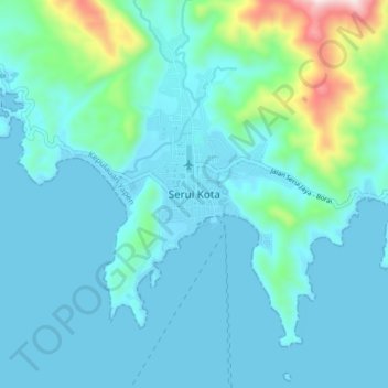
Name: Serui Kota topographic map, elevation, terrain.
Location: Serui Kota, Yapen Islands Regency, Papua, 98211, Indonesia (-1.92166 136.20055 -1.84166 136.28055)
Average elevation: 97 m
Minimum elevation: -2 m
Maximum elevation: 704 m