
Ballinger topographic map
Interactive map
Click on the map to display elevation.
About this map
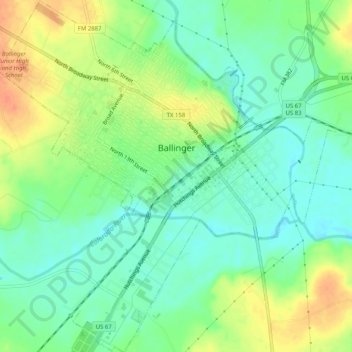
Name: Ballinger topographic map, elevation, terrain.
Location: Ballinger, Runnels County, Texas, 76821, United States (31.71599 -99.97866 31.75913 -99.92999)
Average elevation: 504 m
Minimum elevation: 487 m
Maximum elevation: 528 m