
Bhadla topographic map
Interactive map
Click on the map to display elevation.
About this map
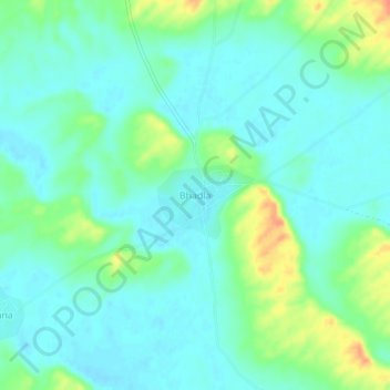
Name: Bhadla topographic map, elevation, terrain.
Location: Bhadla, Nokha Tehsil, Bikaner, Rajasthan, India (27.33213 73.16410 27.37213 73.20410)
Average elevation: 306 m
Minimum elevation: 294 m
Maximum elevation: 339 m