
Fares topographic map
Interactive map
Click on the map to display elevation.
About this map
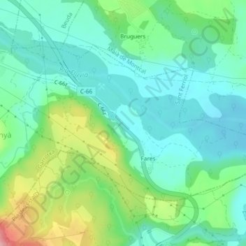
Name: Fares topographic map, elevation, terrain.
Location: Fares, Sant Ferriol, Garrotxa, Girona, Catalonia, Spain (42.18093 2.72402 42.19811 2.76004)
Average elevation: 154 m
Minimum elevation: 111 m
Maximum elevation: 264 m