
Tandlianwala topographic map
Interactive map
Click on the map to display elevation.
About this map
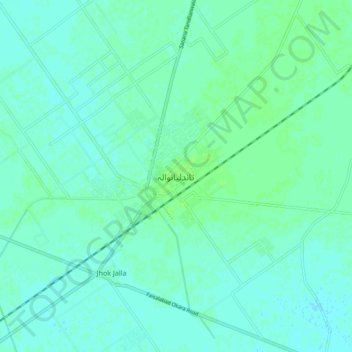
Name: Tandlianwala topographic map, elevation, terrain.
Location: Tandlianwala, Faisalābād District, Punjab, Pakistan (30.99221 73.09318 31.07221 73.17318)
Average elevation: 177 m
Minimum elevation: 174 m
Maximum elevation: 182 m