
Katulikire topographic map
Interactive map
Click on the map to display elevation.
About this map
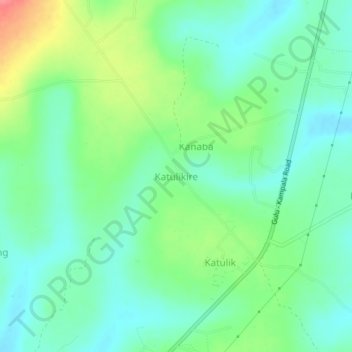
Name: Katulikire topographic map, elevation, terrain.
Location: Katulikire, Kiryandongo, Western Region, Uganda (1.97543 32.14111 2.01543 32.18111)
Average elevation: 1,111 m
Minimum elevation: 1,088 m
Maximum elevation: 1,163 m