
Tisselt topographic map
Interactive map
Click on the map to display elevation.
About this map
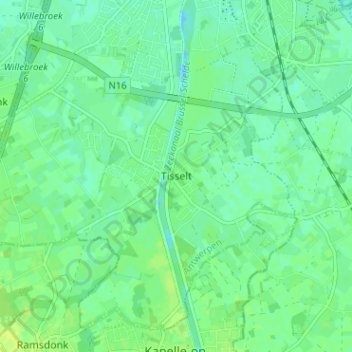
Name: Tisselt topographic map, elevation, terrain.
Location: Tisselt, Willebroek, Antwerp, Flanders, 2830, Belgium (51.01399 4.33984 51.05399 4.37984)
Average elevation: 6 m
Minimum elevation: -1 m
Maximum elevation: 13 m