
Loch an Eilein topographic map
Interactive map
Click on the map to display elevation.
About this map
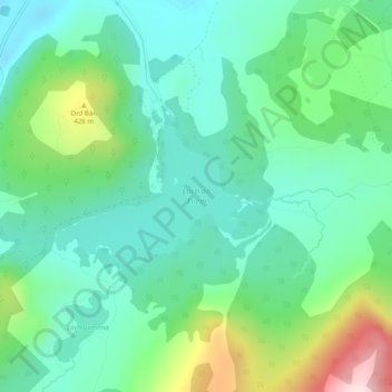
Name: Loch an Eilein topographic map, elevation, terrain.
Average elevation: 312 m
Minimum elevation: 218 m
Maximum elevation: 564 m
Other topographic maps
Click on a map to view its topography, its elevation and its terrain.
Inverdruie
United Kingdom > Scotland > Inverdruie
Inverdruie, Highland, Scotland, PH22 1QH, United Kingdom
Average elevation: 253 m