
Zamarski topographic map
Interactive map
Click on the map to display elevation.
About this map
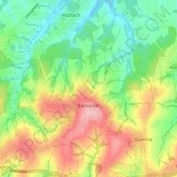
Name: Zamarski topographic map, elevation, terrain.
Average elevation: 316 m
Minimum elevation: 261 m
Maximum elevation: 391 m
The name is of topographic origin derived from Proto-Slavic words marsk, zmarsk (zamarsk). It was mostly germanised as Zamarsk.