
Kech topographic map
Interactive map
Click on the map to display elevation.
About this map
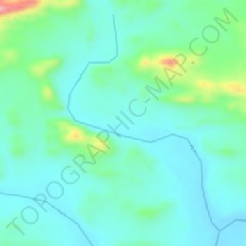
Name: Kech topographic map, elevation, terrain.
Location: Kech, Kech District, Balochistan, Pakistan (26.24815 63.45894 26.27188 63.47752)
Average elevation: 450 m
Minimum elevation: 414 m
Maximum elevation: 560 m
Other topographic maps
Click on a map to view its topography, its elevation and its terrain.
Kech
Pakistan > Balochistan > Turbat
Kech, Turbat, Kech District, Balochistan, 92600, Pakistan
Average elevation: 561 m