
Hunter topographic map
Interactive map
Click on the map to display elevation.
About this map
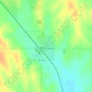
Name: Hunter topographic map, elevation, terrain.
Location: Hunter, Mitchell County, Kansas, United States (39.23037 -98.40350 39.23897 -98.39133)
Average elevation: 495 m
Minimum elevation: 478 m
Maximum elevation: 515 m