
Tokoyo topographic map
Interactive map
Click on the map to display elevation.
About this map
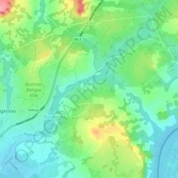
Name: Tokoyo topographic map, elevation, terrain.
Location: Tokoyo, Mbomou, Central African Republic (4.72503 22.81728 4.77390 22.85325)
Average elevation: 509 m
Minimum elevation: 473 m
Maximum elevation: 588 m