
Tehri Dam topographic map
Interactive map
Click on the map to display elevation.
About this map
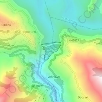
Name: Tehri Dam topographic map, elevation, terrain.
Location: Tehri Dam, unknown, Jakhani Dhar, Tehri Garhwal, India (30.37297 78.47661 30.37833 78.48368)
Average elevation: 911 m
Minimum elevation: 602 m
Maximum elevation: 1,407 m