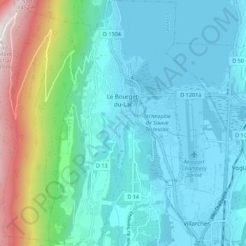
Le Bourget-du-Lac topographic map
Interactive map
Click on the map to display elevation.
About this map
Name: Le Bourget-du-Lac topographic map, elevation, terrain.
Average elevation: 469 m
Minimum elevation: 230 m
Maximum elevation: 1,486 m

Click on the map to display elevation.
Name: Le Bourget-du-Lac topographic map, elevation, terrain.
Average elevation: 469 m
Minimum elevation: 230 m
Maximum elevation: 1,486 m