
Secunda topographic map
Interactive map
Click on the map to display elevation.
About this map
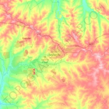
Name: Secunda topographic map, elevation, terrain.
Location: Secunda, Gert Sibande, Mpumalanga, 2302, South Africa (-26.67611 29.04278 -26.35611 29.36278)
Average elevation: 1,619 m
Minimum elevation: 1,544 m
Maximum elevation: 1,694 m