
Brownvale topographic map
Interactive map
Click on the map to display elevation.
About this map
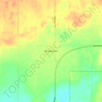
Name: Brownvale topographic map, elevation, terrain.
Location: Brownvale, Municipal District of Peace, Alberta, Canada (56.10856 -117.91281 56.14856 -117.87281)
Average elevation: 651 m
Minimum elevation: 630 m
Maximum elevation: 671 m