
Netarts topographic map
Interactive map
Click on the map to display elevation.
About this map
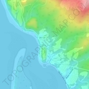
Name: Netarts topographic map, elevation, terrain.
Location: Netarts, Tillamook County, Oregon, United States (45.42350 -123.96082 45.44939 -123.93097)
Average elevation: 35 m
Minimum elevation: -4 m
Maximum elevation: 165 m