
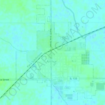
Arthur topographic map
Interactive map
Click on the map to display elevation.
About this map
Name: Arthur topographic map, elevation, terrain.
Location: Arthur, Douglas County, Illinois, United States of America (39.70477 -88.48428 39.72928 -88.45174)
Average elevation: 202 m
Minimum elevation: 199 m
Maximum elevation: 207 m