
Hanberg topographic map
Interactive map
Click on the map to display elevation.
About this map
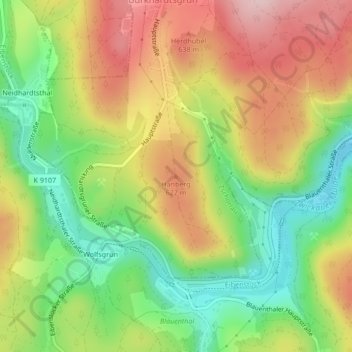
Name: Hanberg topographic map, elevation, terrain.
Location: Hanberg, Zschorlau, Erzgebirgskreis, Saxony, 08309, Germany (50.52430 12.62309 50.52440 12.62319)
Average elevation: 561 m
Minimum elevation: 449 m
Maximum elevation: 681 m