
Ardakan topographic map
Interactive map
Click on the map to display elevation.
About this map
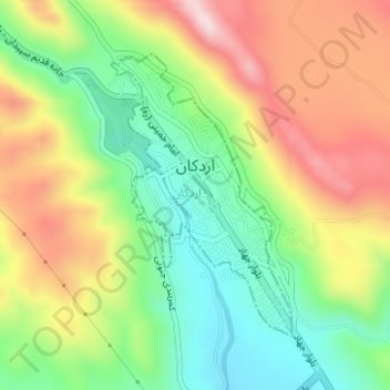
Name: Ardakan topographic map, elevation, terrain.
Location: Ardakan, بخش مرکزی, Sepidan County, Fars Province, Iran (30.25047 51.97688 30.27004 51.99141)
Average elevation: 2,339 m
Minimum elevation: 2,178 m
Maximum elevation: 2,541 m