
Maxela topographic map
Interactive map
Click on the map to display elevation.
About this map
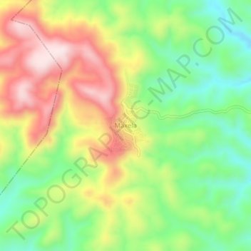
Name: Maxela topographic map, elevation, terrain.
Location: Maxela, Tepecoacuilco de Trujano, Guerrero, Mexico (18.03389 -99.61333 18.07389 -99.57333)
Average elevation: 871 m
Minimum elevation: 680 m
Maximum elevation: 1,106 m