
Lutcher topographic map
Interactive map
Click on the map to display elevation.
About this map
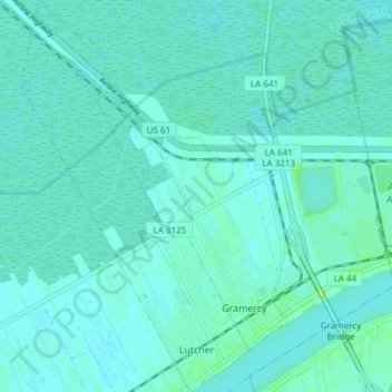
Name: Lutcher topographic map, elevation, terrain.
Location: Lutcher, St. James Parish, Louisiana, 70071, United States (30.03341 -90.73278 30.09862 -90.68904)
Average elevation: 4 m
Minimum elevation: 0 m
Maximum elevation: 23 m
Other topographic maps
Click on a map to view its topography, its elevation and its terrain.